A Bird’s Eye View: Monitoring the California Least Tern Using Unmanned Aerial System (UAS) Imagery
Project Description
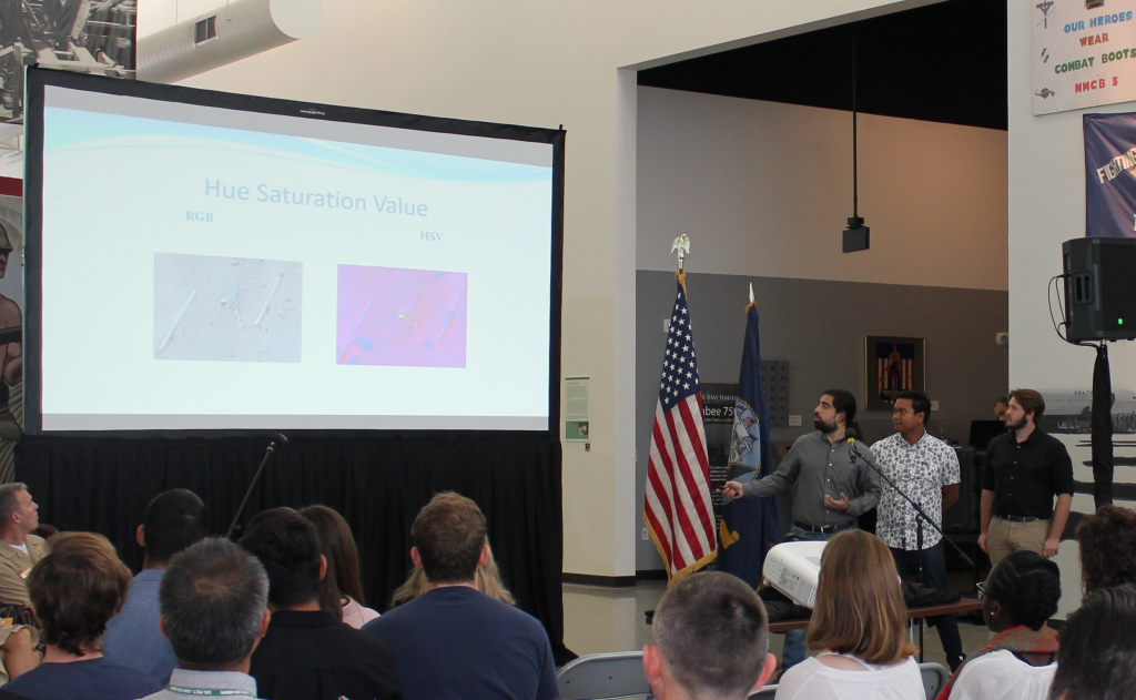
The fields of ecology and computer science are not commonly thought of as being used together however this process of thinking is rapidly changing. In the modern world, people are constantly looking for ways to work more efficiently with the assistance of computers. This search for efficiency has led to the growth of several fields such as artificial intelligence which can be used to augment and assist people with their work. The use of these technologies can make work safer, more cost effective, and less intrusive to the environment. Through our work we are attempting to develop an autonomous system that can be used to identify target objects in a landscape. To demonstrate this system, we are surveying the endangered population of the California Least Tern on a local Southern California Beach. We used a geospatial mapping program called ArcGIS Pro alongside several machine learning principles and an artificial intelligence to collect and process our data. Our results show that it is possible to autonomously analyze an image and successfully identify and retrieve a count of the specified target objects. Our work is significant to the future of Navy operations, especially in the field of ISR: Intelligence, Surveillance, and Reconnaissance.